Land-use/Land-cover Mapping by Remote Sensing: Advancements of an Old School Approach
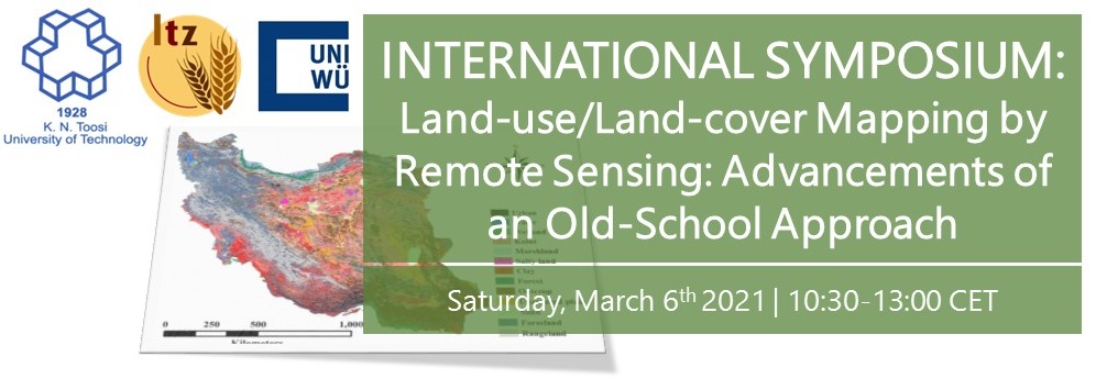
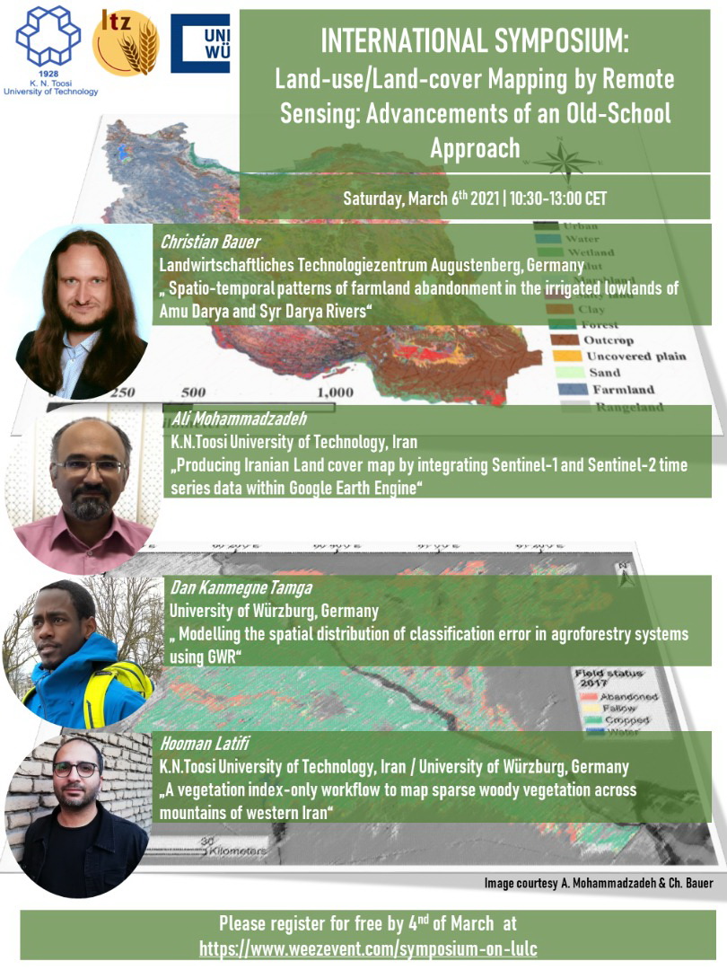
The faculty of Geodesy Engineering of K.N.Toosi University of Technology holds the “Land-use/Land-cover Mapping by Remote Sensing: Advancements of an Old School Approach” webinar on March 6, 2021 .
The speakers will discuss about Spatio-temporal patterns of farmland abandonment in the irrigated lowlands of Amu Darya and Syr Darya Rivers, Producing Iranian Land cover map by integrating Sentinel-1 and Sentinel-2 time series data within Google Earth Engine,Modelling the spatial distribution of classification error in agroforestry systems using GWR and A vegetation index-only workflow to map sparse woody vegetation across mountains of western Iran
Please refer to following website for free registration:
https//www.weezevent.com/kntu-ibl-joint-remote-sensing-webinar
The deadline of registration is March 4, 2021.

