• . Home
  • . News
  • . Admission
  • . Virtual Tour
  • . Contact
K. N. Toosi University of TechnologyK. N. Toosi University of Technology
    • About Us
    • International Affairs
      • Procedures & Forms
      • Partners and Collaborators
      • Funding & Fellowships
      • Our Team
    • Admission
      • Admission Requirements
      • FAQ
    • Academics
      • Faculties
        • Chemistry
        • Mathematics
        • Physics
        • Aerospace Engineering
        • Civil Engineering
        • Computer Engineering
        • Electrical Engineering
        • Geodesy & Geomatics Engineering
        • Industrial Engineering
        • Mechanical Engineering
        • Materials Science and Engineering
      • Professors
      • Adjunct Professors
    • International Students
      • Student Services
        • Sport Facilities
        • Visa
      • Campus Life
        • Life in Iran
        • About Tehran
        • Feasts and Ceremonies
      • Student Portal LMS
    • News and Events
      • News
      • Events
    • Virtual Tour
    • K.N.T.U at a Glance
      • International Students
      • K. N .Toosi university of Technology

    News

    • Home
    • News
    • Land-use/Land-cover Mapping by Remote Sensing: Advancements of an Old School Approach

    Land-use/Land-cover Mapping by Remote Sensing: Advancements of an Old School Approach

    • Posted by Elham Sahebi
    • Categories News
    • Date February 20, 2021

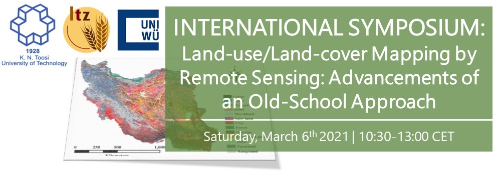
    The faculty of Geodesy Engineering of  K.N.Toosi University of Technology  holds the “Land-use/Land-cover Mapping by Remote Sensing: Advancements of an Old School Approach” webinar on March 6, 2021 .

    The speakers will discuss about Spatio-temporal patterns of farmland abandonment in the irrigated lowlands of Amu Darya and Syr Darya Rivers, Producing Iranian Land cover map by integrating Sentinel-1 and Sentinel-2 time series data within Google Earth Engine,Modelling the spatial distribution of classification error in agroforestry systems using GWR and A vegetation index-only workflow to map sparse woody vegetation across mountains of western Iran

    Please refer to following website for free registration:

    https//www.weezevent.com/kntu-ibl-joint-remote-sensing-webinar

    The deadline of registration is March 4, 2021.

    Elham Sahebi

    Previous post

    Applications of Plug in Electric Vehicles in Planning and Operation of Smart Grids Workshop
    February 20, 2021

    Next post

    Virtual Nano Symposium IRCN 2021 Report
    March 6, 2021

    You may also like

    hed
    From Models to Applications: Data-Driven Solutions for the UK Water Industry
    27 April, 2025
    -6046567745606240367_121
    MoU Established Between K.N. Toosi University of Technology and the University of Salento
    19 April, 2025
    2
    Systemic Complexities of Sustainable Development Cross-Continental Case Studies
    16 February, 2025

    Read More

    • Reports


    470 Mirdamad Ave. West, 19697, Tehran, Iran

    +9821-88881003

    international@kntu.ac.ir, international@saba.kntu.ac.ir


    University

    • About Us
    • International Affairs
    • Professors

    Admission

    • How to Apply
    • Student Services
    • Campus Life

    Faculties

    • Electrical Engineering
    • Mechanical Engineering
    • Aerospace Engineering
    • Mathematics
    • Chemistry
    • Physics
    • Geodesy and Geomatics Engineering
    • Material Science and Engineering
    • Industrial Engineering
    • Computer Engineering
    • Civil Engineering

    © 2020 K. N. Toosi University of Technology. All rights reserved.

    Apply Now

    Apply Now

    And Boost Your Career

    Get Started Now
      • Linkedin
      • Twitter
      • Instagram
      • Telegram
    • Home
    • Admission